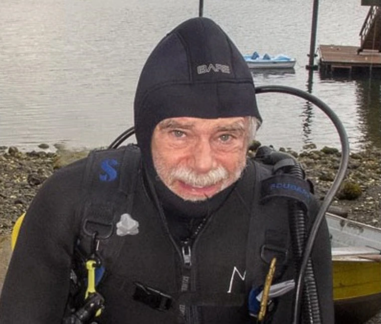
D. Phillip Guertin
Professor Emeritus

BSE 108
1311 E 4th St
Tucson, AZ 85719
Documents
Research
Primary research interest is the development of hydrologic and erosion modeling tools to support watershed assessment and analysis and the Automated Geospatial Watershed Assessment Tool (AGWA), developed by the U. of Arizona, USDA-ARS, and U.S. EPA.
Teaching
Teaching assignments included: RNR 403/503 ? Applications of GIS, RNR 419/519, Cartographic Modeling, RNR 473/573, Spatial Analysis and Modeling, WSM 462/562, Watershed Management, and RNR 422/522, Resource Mapping.
Degrees
- Ph.D., 1984, University of Minnesota, St. Paul, MN
- MS, 1981, Colorado State University, Fort Collins, CO
- BS, 1977, Utah State University, Logan, UT

